Alcoletge
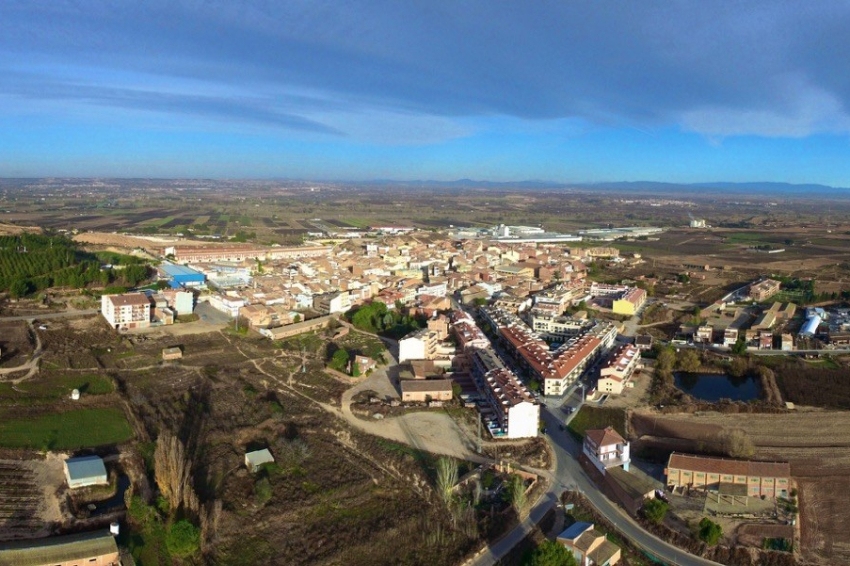
The town of Alcoletge (toponym derived from the Islamic word al-qulàica, el castellet) is the only grouped population center of the term. There are also the urbanizations of the Camino de Artesa, the Camino de Lleida, the Tossal de la Nora, Concordia and the Roser. Among the games it is worth mentioning that of La Plana and Gavarneres to the west, Argelagar to the east, Plan Negret to the south and Església Vella.
The town is located at an altitude of 213 m, on the slopes of Tossal d'Alcoletge, in a row of mountains on the first terraces that border the Segre. A short branch connects it with the regional road C-13 towards Seu d'Urgell.
Nearby routes
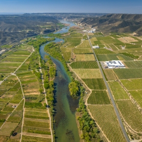
See all routes »- Wine Route: Costers del Segre (a 6.6 km)
- The main characters in the the siege… (a 6.6 km)
- From the murals of Torrefarrera to… (a 6.6 km)
- After the Nova Planta laws (a 6.6 km)
- Circular route of the Water Museum… (a 6.6 km)
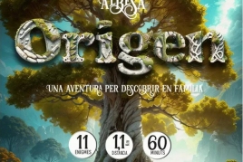
What to do
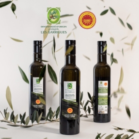
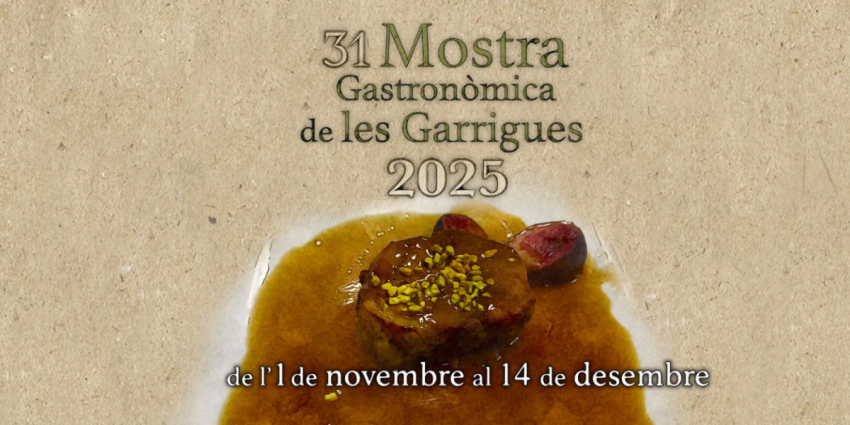
DOP Les Garrigues
Lleida (a 10.9 Km)Les Garrigues is the first Protected Designation of Origin (PDO) food recognized…
Where to eat

El Dien Restaurant
Vallfogona de Balaguer (a 15 Km)We love cooking, and we love our customers to receive on the…
Where to sleep
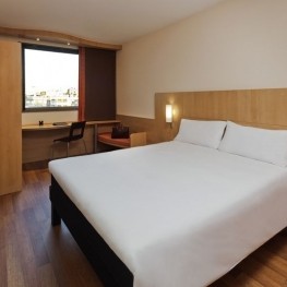
Hotels Ibis Lleida
Lleida (a 6.9 Km)Our Ibis hotel in Lleida is integrated into the commercial area of…
Monestir de les Avellanes
Os de Balaguer (a 25.7 Km)An ancient 12th century abbey adapted to the needs of the 21st…