


Municipalities
The Railway and Coal Route, in allusion to the important tradition of the forge in Baix Ripollès and the extraction of coal in the Ogassa mines, follows the route that the train used to make in the past. The 12 km of road have become an ideal and well-accessible path to enjoy the walk or by bicycle and to remind us of an industrial past of which today we are heirs. The Sant Joan de les Abadesses-Toralles section operated until the mines closed in 1967. The Sant Joan de les Abadesses-Ripoll section, for its part, remained active until its centenary year, in 1980.
- Kilometers: 14 km
- Route: Accessible
- Gradient: 1%
- Difficulty: Minimal
- Pavement: Asphalt agglomerate
- Maximum altitude: 777 m (St. Joan Abadesses)
- Minimum altitude: 682 m (Ripoll)
The route connects Ripoll, at 682 meters above sea level, with San Juan de las Abadesas (775 m). The entire route is paved and is flanked by vegetation; The total gradient is 160 meters and there is a gentle slope of 1%. This section of the road begins at kilometer 9, right in front of the old Sant Joan de les Abadesses station building. Leaving the station, about 300 meters away, the track crosses the Ogassa road and begins to gently ascend through the Malatosca valley, a tributary of the Ter river that originates in the Cavallera mountain range. Every time we cross a road, a cobblestone on the road pavement and good signage along the entire route will put us on alert. About 500 meters from the station the track crosses a GR (Great Route) and, shortly after, crosses the road again. The journey is placid and passes without problems until about two kilometers from San Juan, where the Toralles loader is located that received the coal from the Ogassa mining railway.
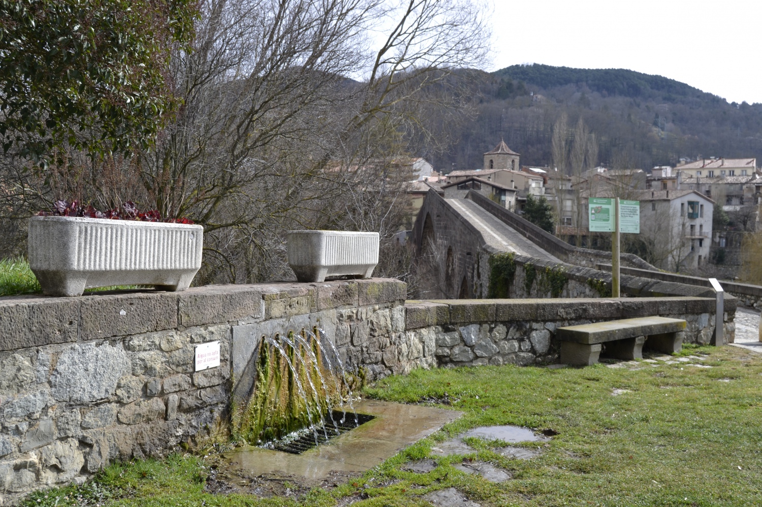
Tramo de la Ruta del Ferro i del Carbó" de Ripoll a Sant Joan de les Abadesses
AD · RUTES_RUTA · Slot: 3740555068

Nearby experiences
Nearby routes
Route of trades in Electric Car through Osona and Ripollès
Les Masies de Voltregà, Manlleu, Ripoll, Torelló, Vic
This route is designed to be done by electric vehicle, although it can be done with any other car. Along the route we will suggest municipalities that have charging points and places of interest to visit while we charge batteries. Electric…
Condal Pyrenees: a tour of the medieval Catalan identity
Berga, Besalú, Cardona, Castell de Mur, El Brull, Girona, Isona i Conca Dellà, La Guingueta d'Àneu, La Seu d'Urgell, La Vall de Boí, Ripoll, Sant Joan de les Abadesses, Seva
Condal Pyrenees route is the path of Catalan history, because it is not understood one without the other. He haunted medieval times when Catholics were struggling to halt the Muslim advance through the peninsula. This confrontation made the…
Mountain gastronomy route in the Girona Pyrenees
Gombrèn, Ribes de Freser, Ripoll
The Ripollès and the Cerdanya await you between beautiful valleys and spectacular high mountain landscapes, with a unique cuisine and local product to discover.
Related routes
Petit Train Route, a greenway for the whole family
Palafrugell, Palamós
Route: Palamós - Palafrugell Start: Depending on the preferences of the users Route: Linear Distance: 6 km + 1km branch in Playa Castillo Difficulty: Low Gradient: 1%
Les Masies Greenway Route
Aiguaviva, Vilablareix
The Les Masies route joins the municipalities of Vilablareix and Aiguaviva, and connects with Girona Airport, in the municipality of Vilobí de Onyar. Kilometers: 6km Unevenness: 3.7% (with a maximum slope of 20%) Difficulty: minimal…
Events
Guided tours of the old town of Verdú
7 NovemberMIRA Digital Arts Festival
From 6 to 7 NovemberChestnut Fair in Maçanet de Cabrenys
7 NovemberFun November in Guissona
7 NovemberRomanyam - Gavarres Gastronomic and Artisan Market
7 NovemberChestnut Festival - Children's Party at Fogars de la Selva
7 NovemberUlldecona cultural
7 November
News








 Sustainable turism
 Biosphere

