Agullana
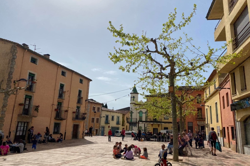
A border town between the Empordà and the Vallespir, Agullana is located in the westernmost area of the Albera mountain range, which precisely ends at the Lli pass, already at the Vajol terminus.
The town of Agullana is located at the confluence of the Guilla with the Gou stream and includes the town of La Estrada and forty scattered farmhouses. It limits to the north with Vallespir, specifically with the term of the Islands, to the east with the term of La Jonquera, to the south with that of Capmany, to the southwest with Darnius and to the west with Vajol.
The northern area is the most mountainous and is populated with cork oaks, holm oaks and some chestnut forests in the highest areas. The part further south and east is the one where the crop area is located.

Nearby routes
See all routes »What to do
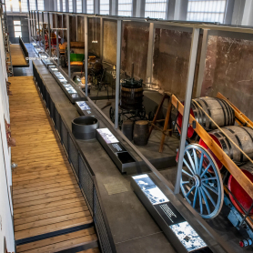
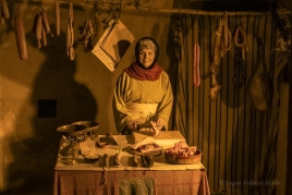
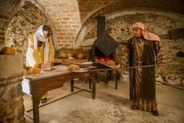
Espai Museístic Vi.Vent
Capmany (a 6.6 Km)The Vi.Vent Museum Space in Capmany is much more than an exhibition…
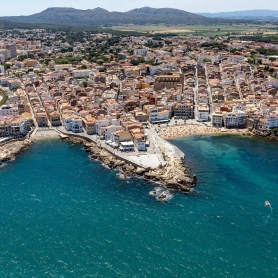
Canònica de Santa Maria de Vilabertran
Vilabertran (a 16.6 Km)Santa Maria de Vilabertran is, without a doubt, one of the best…
Where to sleep
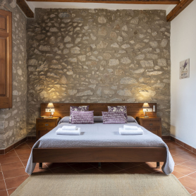
Hostal Can Xicu
Capmany (a 6.5 Km)Can Xicu, restored in 2017, preserves the medieval feel of the house.…
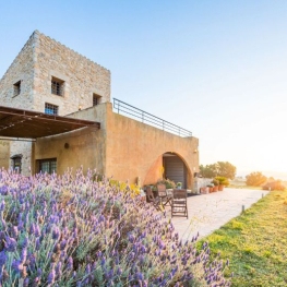
Casa Rural Mas Coquells
Vilanant (a 13.5 Km)Enjoy a relaxing holiday on the Costa Brava, in the countryside, on…
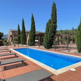
Mas Renart
Mollet de Peralada (a 12.9 Km)Enjoy and relax at the Mas Renart Rural House. For groups and…
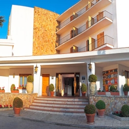
Hotel Empordà
Figueres (a 15.9 Km)Family-run hotel with 39 double rooms and 3 suites, featuring the El…