


Municipalities
- Route: Girona – Cassà de la Selva – Caldes de Malavella (return to Girona by train)
- Start: Girona Station
- End: Caldes de Malavella train station
- Route: Circular, bicycle + train
- Distance: 27 km of pedaling route
- Difficulty: Low
LlDes of the city of Girona we go to the beginning of the Carrilet II route that is at the end of Emili Grahit street. Once incorporated into the Carrilet route, we follow the signs until we reach Cassà de la Selva (15 km), we cross the center of the municipality and about 3 km further on we find the junction with the Thermal route, towards Caldes de Malavella.
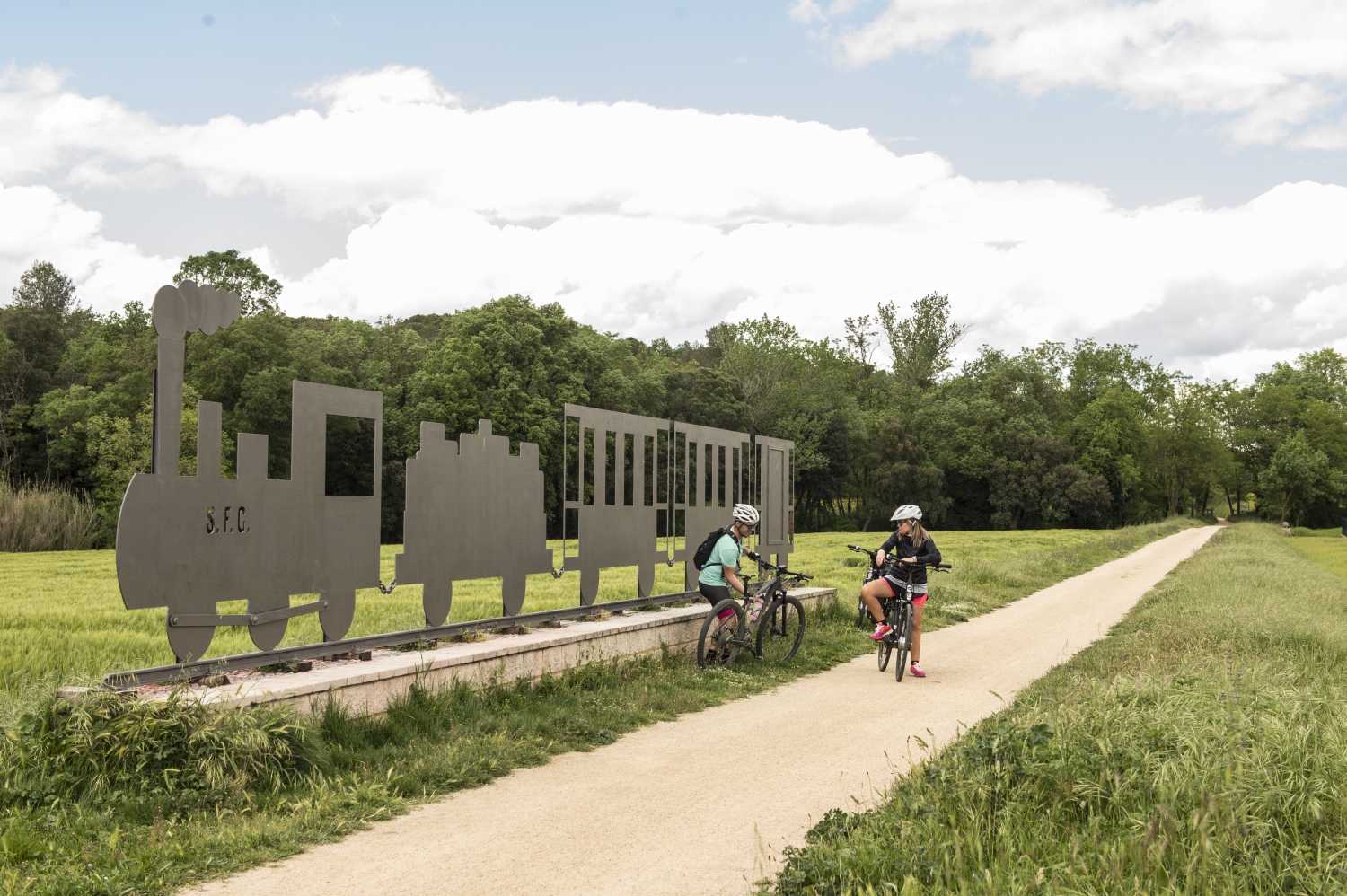
The gently sloping thermal route allows you to enjoy a great diversity of landscapes, fostered by cultivated fields, oak forests and the jungle plain, from where you can contemplate the magnificent panorama formed by the Guilleries massif and the Montseny.
After approximately 9 km we arrive at Caldes de Malavella, where you can discover how thermal water has become a symbol of the municipality's identity, either by visiting the spas, the Roman baths or even trying the water that flows from its springs. mineral-medicinal thermal water.
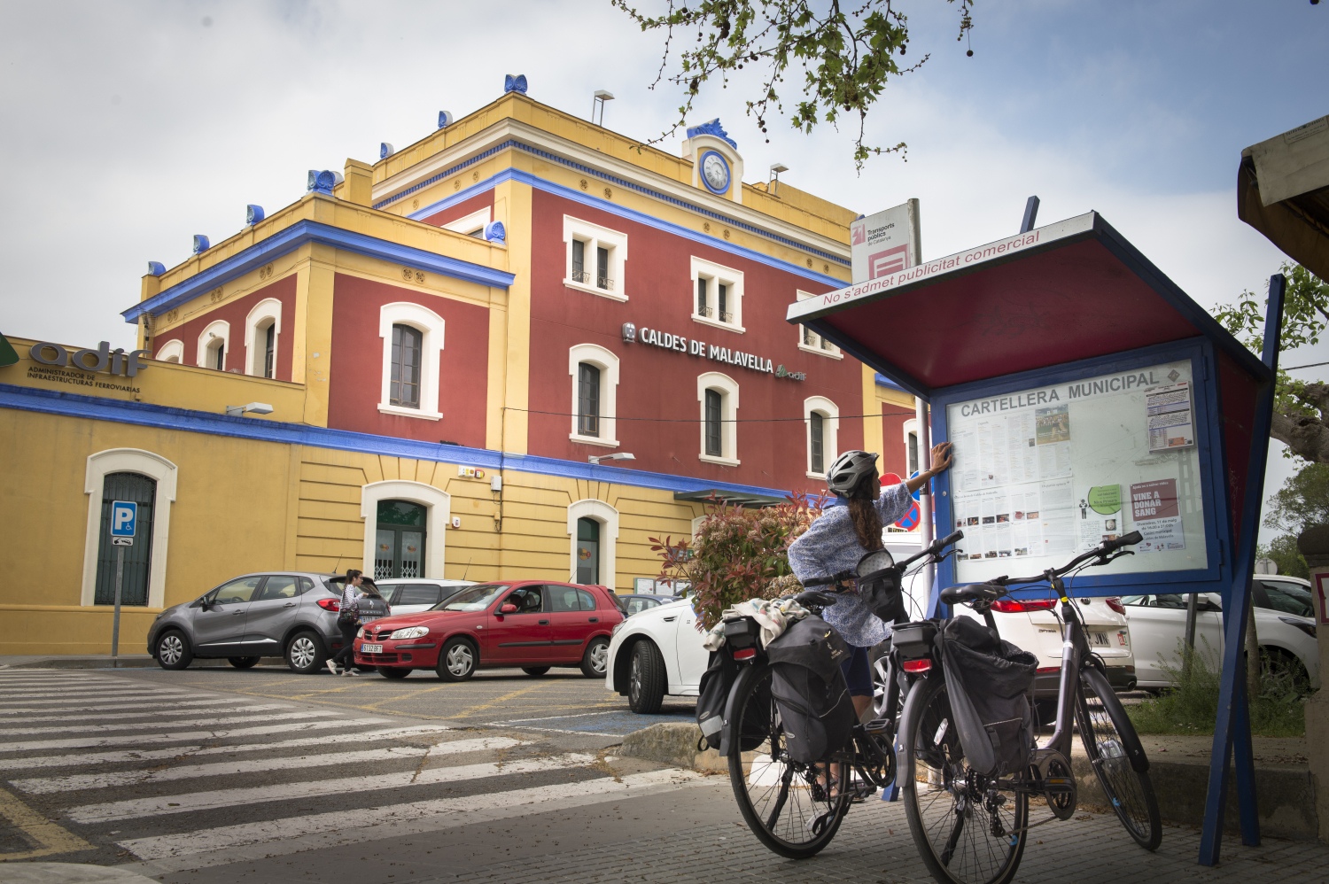
From Caldes de Malavella we can return to the city of Girona by train.
Places of interest
- Old Quarter of Girona
- Quart Pottery Museum
- Can Villalonga in Cassà de la Selva
- Old stations of Carrilet de Quart, Llambilles and Cassà de la Selva
- Roman terms Caldes de Malavella
- Spas in Caldes de Malavella
AD · RUTES_RUTA · Slot: 3740555068
Nearby experiences
Banyoles Dolça (Sweet Banyoles)
BanyolesBanyoles, known for its natural beauty and iconic lake, hides another treasure waiting to be discovered: the sweetness of pastry tradition and innovation. Through a tour of the city's pastry shops and bakeries, we invite you to enjoy an experience…
Family gymkhana to discover Banyoles!
BanyolesLive the adventure of discovering Banyoles through the self-guided game through the Barri Vell Between stone and water! More than a thousand years ago, Benedictine monks wanted to found a city near the Estany. With great effort, they cut the…
Nearby routes
Route to the hermitage of Sant Cristòfol del Bosc in Llambilles
Llambilles
This itinerary in the municipality of Llambilles allows you to visit the hermitage of Sant Cristòfol del Bosc. The route is very representative of the different types of forests that can be found in the Gavarres: holm oaks, cork oaks,…
The Jewish Girona
Girona
The narrow streets and stone-built wet Gerona allow us to enter into the Jewish past of the population and have an idea of ??what life was like the last millennium. Gerona has one of the calls (Jewish Quarter) best preserved of the peninsula,…
Path through the Capçana lock in Cassà de la Selva
Cassà de la Selva, Sant Feliu de Guíxols
Difficulty level: Easy Overall distance: 5.9km Starting point: Station It is an ideal route to do with the family in the hottest months. The Capçana or Verneda lock is a small reservoir that captured water from the Verneda stream to…
Rediscover the Costa Brava
Blanes, Caldes de Malavella, Hostalric, Lloret de Mar, Tossa de Mar
The Costa Brava is the coastal area of the province of Gerona. It is a captivating around 214 km of coastline stretching between Blanes in the south and the French coast in the north. Currently it is one of the main tourist centers in Catalonia,…
Related routes
Path of the natural parks
Aiguafreda, Canet de Mar, Gelida, Olesa de Montserrat, Rellinars, Sant Celoni, Sant Feliu de Codines, Sant Llorenç Savall, Sitges
Starting and ending on the shores of the Mediterranean, the Sendero de los Parques Naturales (210 km), also known as Sendero de los Miradores, makes an arc towards the interior of the territory, always about 40-50 kilometers from Barcelona…
Slow Bike Route - Penedès 360
Sant Jaume dels Domenys, Sant Sadurní d'Anoia, Torrelles de Foix, Vilafranca del Penedès
The Penedès plain is ideal to discover by bicycle, without haste. This is what the Slow Bike Route - Penedès 360 (162 km) proposes, a circular itinerary of four stages that does not present great difficulties! If we talk about…
Les Masies Greenway Route
Aiguaviva, Vilablareix
The Les Masies route joins the municipalities of Vilablareix and Aiguaviva, and connects with Girona Airport, in the municipality of Vilobí de Onyar. Kilometers: 6km Unevenness: 3.7% (with a maximum slope of 20%) Difficulty: minimal…
Route through the Ripollès Greenways
Campdevànol, Ripoll, Sant Joan de les Abadesses, Sant Pau de Segúries
Route: Campdevànol – Ripoll – San Juan de las Abadesas – San Pablo de Segúries Start: Campdevànol Church Square End: Sant Pau de Segúries Town Hall Route: Linear, round trip along the same path…
Events
Guided tours of the old town of Verdú
7 NovemberMIRA Digital Arts Festival
From 6 to 7 NovemberChestnut Fair in Maçanet de Cabrenys
7 NovemberFun November in Guissona
7 NovemberRomanyam - Gavarres Gastronomic and Artisan Market
7 NovemberChestnut Festival - Children's Party at Fogars de la Selva
7 NovemberUlldecona cultural
7 November








 Sustainable turism
 Biosphere

