


Municipalities
- Route: Campdevànol – Ripoll – San Juan de las Abadesas – San Pablo de Segúries
- Start: Campdevànol Church Square
- End: Sant Pau de Segúries Town Hall
- Route: Linear, round trip along the same path
- Distance: 23.5 km (one way)
- Difficulty: Low
- Unevenness: 1.15%
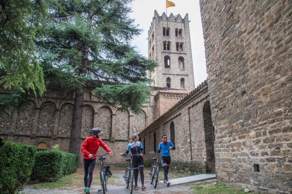
We start the route and leave from the old town of Campdevànol, and following the streets of the town we arrive at the new section of Camí Ral y Ganadero that will take us to Ripoll (5 km). It is a fairly flat route that connects with the well-known Vía Verde del Hierro y del Carbón. Once we arrive at Ripoll, we have to cross the town center of the municipality, during this tour we can take the opportunity to visit the Monastery of Santa Maria de Ripoll and its Romanesque portal.
Continuing with the route, in the Can Guetes area we will find the start of the Ferro y del Carbó route, which follows the route that the train used to make. The greenway is fully signposted, and it is an accessible and flat route.
About 10 km later, we arrive at Sant Joan de les Abadesses through the station park. It is worth taking advantage of the passage through Sant Joan de les Abadesses to visit the old town and learn about its history, linked to Count Guifré el Pilós and the legends of the Arnau account. To continue with the route, you have to cross the town through streets and bike lanes, which will allow us to visit places of interest such as the Pont Vell, the church of Sant Pol, the Monastery or the Palace of the Abbey.
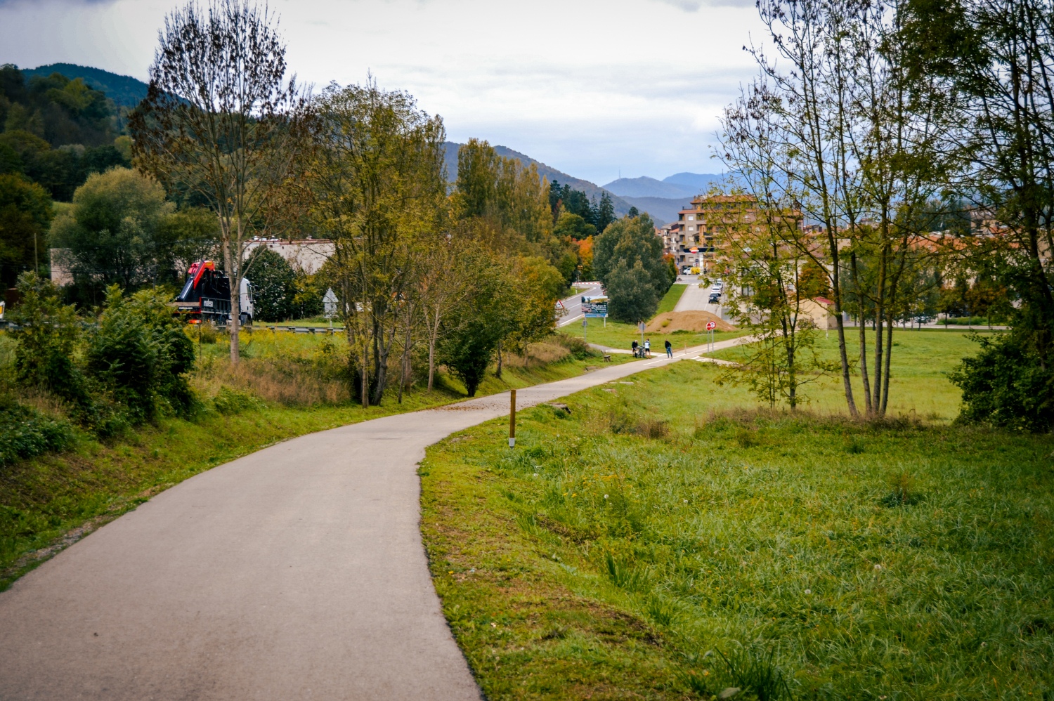
Once we have crossed the old town, we continue towards Colonia Llaudet, an old textile colony next to the River Ter, an emblem of the textile industrialization of Ripollès. This stretch of greenway has been executed relatively recently by the Generalitat de Catalunya and allows you to reach Sant Pau de Segúries (8.5km).
AD · RUTES_RUTA · Slot: 3740555068
The entire route runs through sections of greenway segregated to motor traffic, except for the urban sections to cross the municipalities.
The route crosses four nuclei of municipalities with an offer of commerce, restaurants and accommodation.
Places of interest
- Campdevànol Church
- Molino Gros Ecomuseum and Pyrfer Center
- Santa Maria de Ripoll Monastery
- Ripoll Ethnographic Museum
- Old bridge of San Juan de las Abadesas
- Monastery of San Juan de las Abadesas
- The Church of San Pablo de Segúries
- The Roman Way of San Pablo de Segúries
In addition to places of cultural and historical interest, the route runs through mountain landscapes and spaces of natural interest such as the Serra Cavallera.
AD · RUTES_RUTA · Slot: 3740555068

Nearby experiences
Nearby routes
Walking through the Valley of Camprodon
Camprodon, Llanars, Sant Pau de Segúries, Setcases, Vilallonga de Ter
Located in the eastern part of the region of Ripollès, Camprodon Valley is located in border area of the neighboring country, France. Formed by only six municipalities, although scattered grouping several cores, is crowned by a ski slope,…
Condal Pyrenees: a tour of the medieval Catalan identity
Berga, Besalú, Cardona, Castell de Mur, El Brull, Girona, Isona i Conca Dellà, La Guingueta d'Àneu, La Seu d'Urgell, La Vall de Boí, Ripoll, Sant Joan de les Abadesses, Seva
Condal Pyrenees route is the path of Catalan history, because it is not understood one without the other. He haunted medieval times when Catholics were struggling to halt the Muslim advance through the peninsula. This confrontation made the…
The legend of Count Arnau
Campdevànol, Gombrèn, Sant Joan de les Abadesses
This month we invite you to gallop femTurisme lands of Count Arnau, tracing their exploits and fingerprints. The legend of Count Arnau has become currently one of the most popular de Catalunya. Just as the quintessential Catalan myth and key…
Route of the Ferro i del Carbó" from Ripoll to Sant Joan de les Abadesses
Ripoll, Sant Joan de les Abadesses
The Railway and Coal Route, in allusion to the important tradition of the forge in Baix Ripollès and the extraction of coal in the Ogassa mines, follows the route that the train used to make in the past. The 12 km of road have become…
Related routes
Les Masies Greenway Route
Aiguaviva, Vilablareix
The Les Masies route joins the municipalities of Vilablareix and Aiguaviva, and connects with Girona Airport, in the municipality of Vilobí de Onyar. Kilometers: 6km Unevenness: 3.7% (with a maximum slope of 20%) Difficulty: minimal…
Circular route pedaling between cork oaks and hot springs
Caldes de Malavella, Cassà de la Selva, Girona, Llambilles, Quart
Route: Girona – Cassà de la Selva – Caldes de Malavella (return to Girona by train) Start: Girona Station End: Caldes de Malavella train station Route: Circular, bicycle + train Distance: 27 km of pedaling route Difficulty:…
Bicycle route of the Hermitage of the Virgen de Gracia de Santa Susanna
Santa Susanna
Short but intense route that leads us to the Mare de Déu de Gràcia hermitage very close to the municipality of Santa Susanna, mostly along a path. Distance: 5,20 km Elevation gain: 149 m positive
Events
Guided tours of the old town of Verdú
7 NovemberMIRA Digital Arts Festival
From 6 to 7 NovemberChestnut Fair in Maçanet de Cabrenys
7 NovemberFun November in Guissona
7 NovemberRomanyam - Gavarres Gastronomic and Artisan Market
7 NovemberChestnut Festival - Children's Party at Fogars de la Selva
7 NovemberUlldecona cultural
7 November
News








 Sustainable turism
 Biosphere

