


Municipalities
- Route: Girona - Quart - Llambilles - Cassà de la Selva - Sant Andreu Salou - Campllong - Fornells - Girona
- Start: Girona
- Route: Circular
- Distance: 37.5km
- Difficulty: Medium
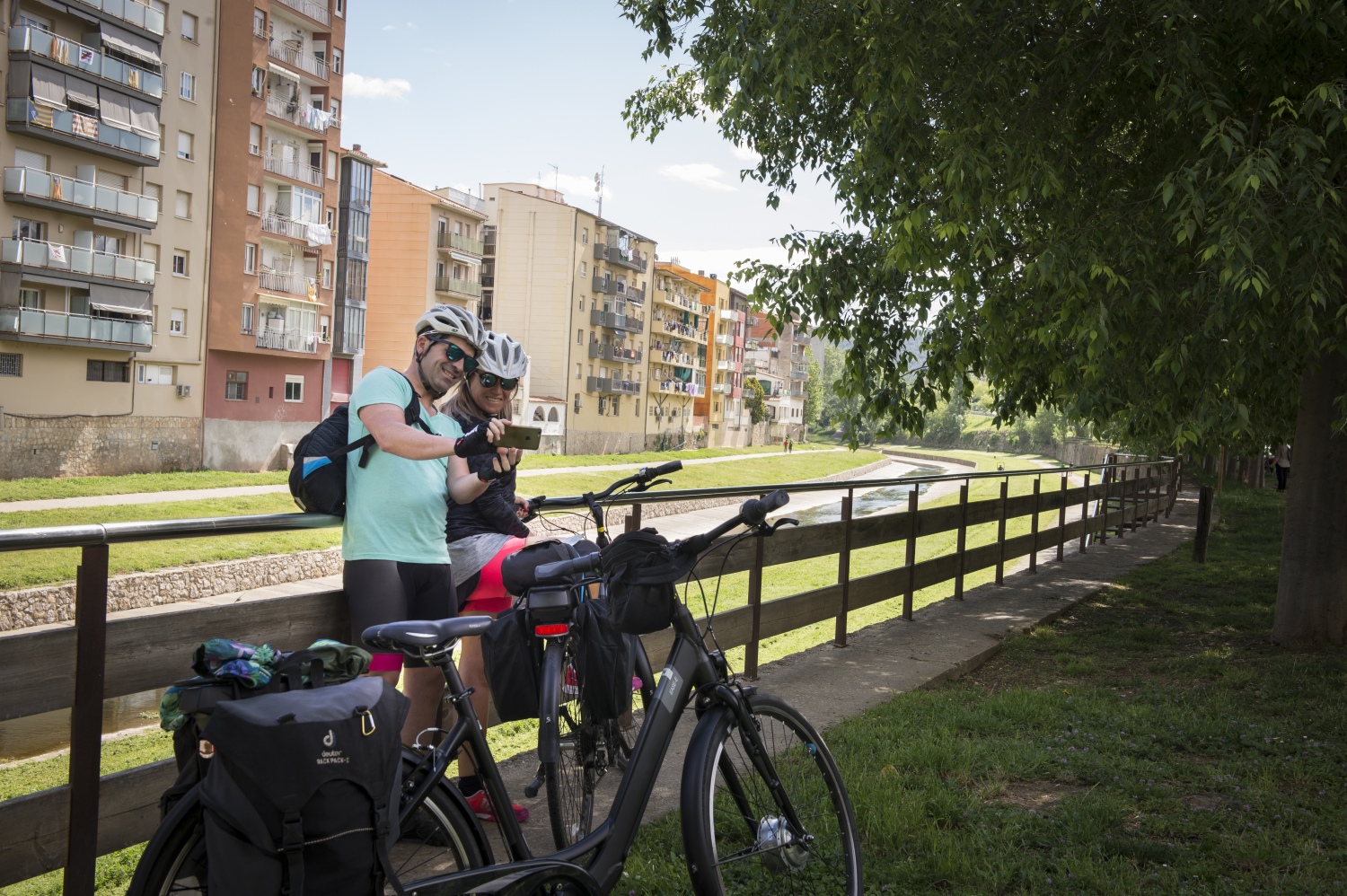
It is a circular route with departure and arrival in the city of Girona. Leaving the Girona train station we head towards Emili Grahit street, crossing the central park along the bike lanes, at the end of Emili Grahit we will find the start of the Carrilet II route. We take the Carrilet route until we reach Cassà de la Selva (15 km), we cross the center of the municipality and about 3 km further on we will find the detour of the thermal route. We will do a couple of km of this route and immediately we will find the detour of the Pla del Gironès Sud Route, which goes towards Sant Andreu Salou.
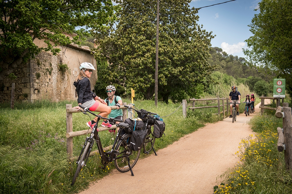
The Pla del Girones Sud route has recently been inaugurated and includes different types of cycle paths; green paths shared with pedestrians, two-way bicycle tracks, bike lanes in interurban areas and streets in zone 30. Following the route we will cross the municipalities of Sant Andreu Salou, Campllong andFornells de la Selva. The route reaches the entrance of Girona, in the Creu de Palau area, from there we can reach the place of origin of the route following streets and urban bike lanes in the city of Girona.
Places of interest
- Old Quarter of Girona
- Quart Pottery Museum
- Can Villalonga in Cassà de la Selva
- Old stations of Carrilet de Quart, Llambilles and Cassà de la Selva
- San Andreu Salou
- campllong
- Fornells of the Jungle
AD · RUTES_RUTA · Slot: 3740555068

Nearby experiences
Banyoles Dolça (Sweet Banyoles)
BanyolesBanyoles, known for its natural beauty and iconic lake, hides another treasure waiting to be discovered: the sweetness of pastry tradition and innovation. Through a tour of the city's pastry shops and bakeries, we invite you to enjoy an experience…
Family gymkhana to discover Banyoles!
BanyolesLive the adventure of discovering Banyoles through the self-guided game through the Barri Vell Between stone and water! More than a thousand years ago, Benedictine monks wanted to found a city near the Estany. With great effort, they cut the…
Nearby routes
After the Nova Planta laws
Barcelona, Girona, Lleida, Solsona, Tarragona, Tortosa, Vic
After a war there are always catastrophic: people killed, injured, destruction of buildings, etc. But we should not consider only tangible harm. Also keep in mind all that is not seen, but felt that over the years the catastrophe left clear…
Route through the dry margin of Campllong
Campllong
Campllong is a small municipality in the Gironès region, surrounded by crop fields and agricultural and livestock farms. With a flat land full of streams such as the Onyar, which is drained by the Campllong stream or the Gotarra or Bugantó…
Circular route pedaling between cork oaks and hot springs
Caldes de Malavella, Cassà de la Selva, Girona, Llambilles, Quart
Route: Girona – Cassà de la Selva – Caldes de Malavella (return to Girona by train) Start: Girona Station End: Caldes de Malavella train station Route: Circular, bicycle + train Distance: 27 km of pedaling route Difficulty:…
Route through the stone villages of Girona
Besalú, Girona, Madremanya, Santa Pau, Torroella de Montgrí - L'Estartit
Since the beginning of civilization, stone has been a material used and present to make life easier for humans; We can remember how the Romans used this raw material to build their recreational spaces as the prehistoric ones, specifically during…
Related routes
Bicycle route of the Hermitage of the Virgen de Gracia de Santa Susanna
Santa Susanna
Short but intense route that leads us to the Mare de Déu de Gràcia hermitage very close to the municipality of Santa Susanna, mostly along a path. Distance: 5,20 km Elevation gain: 149 m positive
Route along the PR C-93 Trail of Santa Eugènia de Berga
Santa Eugènia de Berga
The PR C-93 trail, also known as the "Camino de Santa Eugènia de Berga", is a hiking trail located in the town of Santa Eugenia de Berga, in the Osona region. This route runs through natural landscapes and offers panoramic views of the…
Path of the natural parks
Aiguafreda, Canet de Mar, Gelida, Olesa de Montserrat, Rellinars, Sant Celoni, Sant Feliu de Codines, Sant Llorenç Savall, Sitges
Starting and ending on the shores of the Mediterranean, the Sendero de los Parques Naturales (210 km), also known as Sendero de los Miradores, makes an arc towards the interior of the territory, always about 40-50 kilometers from Barcelona…
The Greenway of Guissona
Guissona
The Guissona Greenway is a circular route of about 17 km where we can enjoy the views of the town from the four cardinal points. Walk around the town of Guissona passing through different places of heritage interest such as the Obra de Fluvià,…
Events
Guided tours of the old town of Verdú
7 NovemberMIRA Digital Arts Festival
From 6 to 7 NovemberChestnut Fair in Maçanet de Cabrenys
7 NovemberFun November in Guissona
7 NovemberRomanyam - Gavarres Gastronomic and Artisan Market
7 NovemberChestnut Festival - Children's Party at Fogars de la Selva
7 NovemberUlldecona cultural
7 November








 Sustainable turism
 Biosphere

